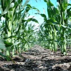

The sun beats down relentlessly on the parched earth of West Africa and the Sahel. Here, millions of smallholder farmers toil on the land, their livelihoods threatened by a vicious cycle of low yields, degraded soil, and a climate in flux. The spectre of food insecurity looms large, a constant worry for communities already grappling with immense hardship.
However, a beacon of hope flickers on the horizon – a technological innovation with the potential to revolutionize agriculture in the region: digital soil health and fertility maps. These cutting-edge tools are like GPS for agriculture, offering farmers a wealth of data-driven insights to improve soil management, boost crop yields, and build resilience against climate change.
Imagine a farmer in rural Senegal, armed with a smartphone and a user-friendly app. By simply tapping on their location, they can access a detailed digital map revealing the specific characteristics of their soil – its nutrient deficiencies, moisture levels, and overall health. This granular information empowers them to make informed decisions, selecting the most suitable crops for their land, optimizing planting schedules, and applying fertilizers precisely where needed.
These digital maps are not mere static images, but rather living repositories of knowledge, constantly evolving through a sophisticated blend of science and collaboration. Soil samples, satellite imagery, and geospatial analysis are woven together to create a comprehensive picture of soil health across the region. Organizations like the International Soil Reference and Information Centre (ISRIC) play a critical role in this process, ensuring the accuracy and accessibility of this vital data.
The benefits of digital soil maps extend far beyond increased yields. By promoting precision agriculture, these tools can significantly reduce fertilizer overuse, a major environmental concern. Farmers can target their fertilizer application, minimizing waste and preventing harmful pollutants from leaching into waterways and acidifying the soil. This sustainable approach safeguards the environment for future generations.
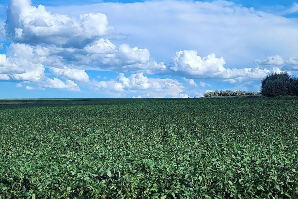
The economic impact of digital soil maps is equally compelling. Studies have shown that farmers adopting these data-driven practices can experience yield increases of up to 40% and profit gains of 20%. This translates to a ripple effect across the region, empowering individual farmers, bolstering food security, and reducing reliance on expensive food imports.
The technology underpinning these digital maps is nothing short of remarkable. Artificial intelligence and machine learning algorithms crunch vast datasets, generating detailed and accurate soil maps. User-friendly mobile apps and digital platforms bridge the gap between this wealth of information and the farmers who need it most.
However, challenges remain on the road to widespread adoption. Ensuring high-quality, standardized data collection and sharing is paramount. Collaborative efforts between governments, research institutions, and the private sector are needed to bridge data gaps and create unified databases. Additionally, investments in digital infrastructure and training programs are crucial to equip stakeholders, from policymakers to farmers, with the skills to harness the full potential of these maps.
The African Union recognizes the importance of a unified front in tackling soil degradation. The 10-Year Action Plan for Fertilizer and Soil Health underscores the need for multi-stakeholder partnerships to drive investments in soil management. The Regional Hub for Fertilizer and Soil Health for West Africa and the Sahel (the Hub) embodies this spirit of collaboration, working alongside organizations like IITA and ISRIC to refine and disseminate digital soil maps.
“The release of improved digital soil maps is not just a technological breakthrough, it’s a testament to the collective resolve to transform agriculture in West Africa and the Sahel,” says Bernard Vanlauwe, Deputy Director General of Research for Development at IITA and chair of the Hub consortium steering committee. “Fertile soil is the foundation of food security, and these maps bring us closer to that goal.”
As the launch of the updated digital soil maps in early 2025 draws near, the Regional Hub is actively expanding its efforts. They are working to enhance data accuracy, extend the mapping coverage, and promote the adoption of climate-smart agronomy tools like AgWise.
AgWise is a game-changer for smallholder farmers. This free, open-source app empowers them with localized, data-driven recommendations tailored to their specific growing conditions. AgWise integrates a wealth of information – soil data, weather patterns, and satellite imagery – to provide actionable insights on planting times, crop selection, fertilizer application, and best agricultural practices.
The impact of the Hub’s work extends far beyond the digital realm. By fostering collaboration between governments, donors, and the private sector, they are paving the way for a future where West Africa and the Sahel can achieve resilient, sustainable, and inclusive agricultural growth. This, in turn, unlocks a future of food security and prosperity for generations to come.
“Agricultural productivity and soil resilience in West Africa and the Sahel are not just about food security – they are foundational to economic stability and climate resilience,” emphasizes Vanlauwe.
The upcoming release of the new digital soil maps marks a pivotal moment for agriculture in West Africa. As data-driven farming takes root